North Dakota Icelandic Settlement Driving Map
- Sunna Olafson Furstenau

- 3 days ago
- 4 min read
By Sunna Olafson Furstenau
Through the month of July, we've focused on the North Dakota settlement areas of our ancestors. Their stories come to life more readily when one has an opportunity to travel and see the sites for ourselves. Here are some suggestions for northeast North Dakota:

The content of the above inserted tour details and driving map are duplicated below:

Icelanders who settled in the area known as Fjalla mostly came from northeastern Iceland in the early 1880s.
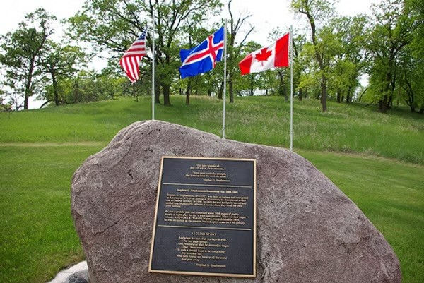
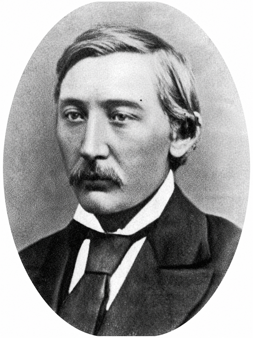
Stefán Guðmundsson / Stephan G Stephansson emigrated as a working man in 1873. He moved to Markerville, Alberta in 1889. He was first in Wisconsin and in 1879 came to Park (Gardar). He was a farmer, community leader, and poet.
His father and son are buried in Gardar Cemetery. Stephan and his family moved to Markerville, Alberta in 1889.
Centre Map and Location Descriptions:
A) The city of Cavalier has facilities such as fuel, food, shopping, lodging and more.
B) Akra area is 5 miles west of Cavalier. No facilities. The Akra Hall was moved to the Icelandic State Park.
C) Icelandic State Park, Gunlogson State Nature Preserve, Lake Renwick is 5.4 miles west of Cavalier. Boating, swimming, fishing, camping, events, a library, and more. The Northeast North Dakota Heritage Center’s interpretive exhibits tell the Settlement Era Story of all nationalities that settled the area.
D) Pembina County Historical Museum and Pioneer Machinery Museum are on the south side of Hwy 5 with buildings, machinery, library, and exhibits.
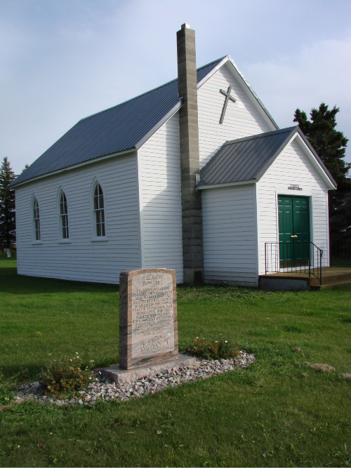
E) Vidalin Church was built in 1886. The East Sandridge congregation was formed in 1885. In 1888, the name of the church became Vidalin. The church and cemetery are 2.9 miles south of Hwy 5 and west 0.7 miles.
F) Hallson cemetery is 2.9 miles west of Icelandic State Park, north 0.5 miles, west 0.3 miles. The Hallson church was built in 1897 and was moved to the Icelandic Sate Park in 1994. The area is named after the first settler, Jóhann Pétur Hallsson.
G) Peters Cemetery is 2.5 miles west of the Icelandic Park, 2 miles north, 1 mile east, and 0.2 miles north.
H) The Peters Church was built in 1897 and a new church in 1949. The Svold congregation was formed in 1893. Drive 0.9 miles north on 134th Ave NE. Turn left onto 96th St NE for 1 mile. Turn right at 133rd Ave for 0.2 miles. The old Peter's Cemetery is west on 96th St NE, 0.8 miles.
I) The Andvari cemetery is 3 miles north of the corner of Hwy 5 & Hwy 32.
J) Fjalla Church/Fjallakirkja was built in 1894. The church, cemetery and monument are 18 miles west of Cavalier, south 2.2 miles, and west 0.5 miles.
K) Mountain city has a cafe and a bar. Here you find the Vikur Lutheran Church built in1884, Vikur cemetery, and monument. Vikur is the oldest Icelandic church in North America. The Father of the Dakota Settlement, Pastor Páll Þórlaksson, is buried here.
L) The Mountain Cemetery is located on the southwest edge of Mountain.
M) Eyford/Thingvalla Memorial, Cemetery, and K.N. Julius Monument are 3.5 miles south of Mountain. The church was built in 1893 and burned to the ground in a 2003 accidental fire. A memorial was dedicated in 2007 with a Christus statue, native prairie garden, and storyboard panels.
N) Gardar Luther’s church was built in 1911. It is 7 miles south of Mountain, 0.5 miles west, 0.1 mile north, and 0.1 mile west of Gardar. Gardar has a bar, community center, camping, and a disc golf course.
O) Gardar Pioneer Lutheran Church was built in 1888. The church, cemetery, and monument are southwest of the Gardar village by 0.5 miles.
P) Stephan G Stephansson homestead and monument are 7 miles south of Mountain on #32, west 2 miles, north 1 mile, west 1 mile.

QR Code: Scan the QR code to learn more about the history of the area and these locations. Scan the QR code or see our website TheDeuce.org to learn more about he history of the area.
(NOTE: The QR Code is inaccessible from the storyboard image at the time of publication. In the meantime, please access TheDeuce.org, which will take you to the same URL site and information as the QR Code.)
The settlement spanned a greater area than is located on this map. Icelanders filled the farms across the vast land on all sides of the current roads. Early settlers also lived near Little Salt, Park River, and Grafton in Walsh County and other areas in eastern North Dakota. By 1880, northeast North Dakota had the largest Icelandic population in the Unites States.
A later settlement was in north central North Dakota in the Mouse River, Upham, Bottineau, and Minot areas. The Melankton Icelandic church is near Upham. A statue of Leifur Eiriksson is at the Scandinavian Heritage Park in Minot.

The Pembina Icelandic Church, built in 1885, is the second oldest Icelandic church in north America. It is located on the east side of Pembina, ND. The Ukrainian Church purchased the building in 1937 and added the dome. In 2019, it was listed on the National Register of Historic Places as the Icelandic Evangelical Lutheran Church.
The town of Pembina is situated on the border of the United States and Canada off this current map to the north and east. The area has a variety of interesting historical sites, including the Pembina State Museum.
The churches were important to the Icelandic pioneer settlers as the cornerstone of their communities. Today, these churches continue to preserve their heritage. Take a walk through the cemeteries and you will find many original settlers and their descendants.
Pembina County was established as part of Dakota Territory in 1867. Cavalier County was created in 1873 with territory annexed from Pembina County. The Oxcart Trails of Pembina County were important for transporting furs to markets between Winnipeg in Manitoba and St. Paul in Minnesota. North Dakota became a state on November 2, 1889.